
青藏铁路 topographic map
Interactive map
Click on the map to display elevation.
About this map
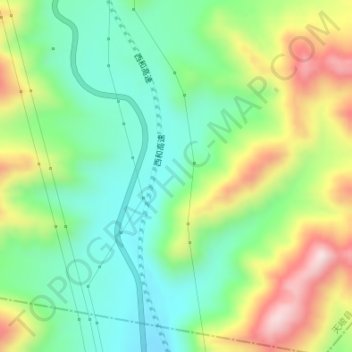
Name: 青藏铁路 topographic map, elevation, terrain.
Location: 青藏铁路, 西和高速, 天峻县, 海西蒙古族藏族自治州, 青海省, 中国 (37.06902 98.87704 37.08147 98.88018)
Average elevation: 3,581 m
Minimum elevation: 3,430 m
Maximum elevation: 3,840 m
Other topographic maps
Click on a map to view its topography, its elevation and its terrain.