
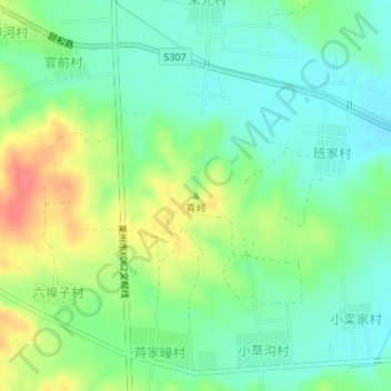
青岭 topographic map
Interactive map
Click on the map to display elevation.
About this map
Name: 青岭 topographic map, elevation, terrain.
Location: 青岭, 烟台市, 山东省, 264000, 中国 (37.09818 120.11810 37.09828 120.11820)
Average elevation: 164 m
Minimum elevation: 141 m
Maximum elevation: 205 m
Other topographic maps
Click on a map to view its topography, its elevation and its terrain.