
东观村 topographic map
Interactive map
Click on the map to display elevation.
About this map
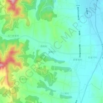
Name: 东观村 topographic map, elevation, terrain.
Location: 东观村, 烟台市, 山东省, 264000, 中国 (37.29932 120.35615 37.33932 120.39615)
Average elevation: 131 m
Minimum elevation: 68 m
Maximum elevation: 310 m
Other topographic maps
Click on a map to view its topography, its elevation and its terrain.