
官地村 topographic map
Interactive map
Click on the map to display elevation.
About this map
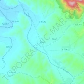
Name: 官地村 topographic map, elevation, terrain.
Location: 官地村, 烟台市, 山东省, 264000, 中国 (37.42196 120.64047 37.46196 120.68047)
Average elevation: 130 m
Minimum elevation: 83 m
Maximum elevation: 337 m
Other topographic maps
Click on a map to view its topography, its elevation and its terrain.