
山前村 topographic map
Interactive map
Click on the map to display elevation.
About this map
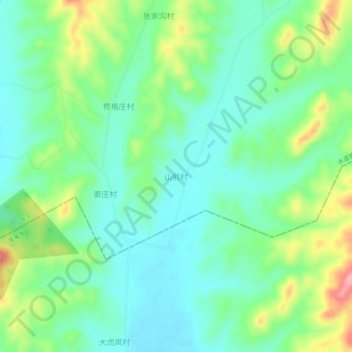
Name: 山前村 topographic map, elevation, terrain.
Location: 山前村, 烟台市, 山东省, 264000, 中国 (37.09245 121.50033 37.13245 121.54033)
Average elevation: 81 m
Minimum elevation: 43 m
Maximum elevation: 168 m
Other topographic maps
Click on a map to view its topography, its elevation and its terrain.