
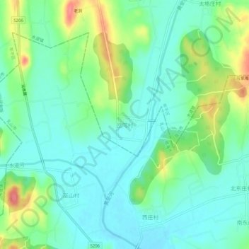
岔河村 topographic map
Interactive map
Click on the map to display elevation.
About this map
Name: 岔河村 topographic map, elevation, terrain.
Location: 岔河村, 烟台市, 山东省, 264000, 中国 (37.11227 121.58681 37.15227 121.62681)
Average elevation: 81 m
Minimum elevation: 59 m
Maximum elevation: 131 m
Other topographic maps
Click on a map to view its topography, its elevation and its terrain.