
Lesja topographic map
Interactive map
Click on the map to display elevation.
About this map
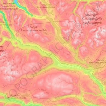
Name: Lesja topographic map, elevation, terrain.
Location: Lesja, Innlandet, Norvège (62.00085 7.98361 62.37840 9.31924)
Average elevation: 1,221 m
Minimum elevation: 20 m
Maximum elevation: 2,248 m
Other topographic maps
Click on a map to view its topography, its elevation and its terrain.