
Nord-Fron topographic map
Interactive map
Click on the map to display elevation.
About this map
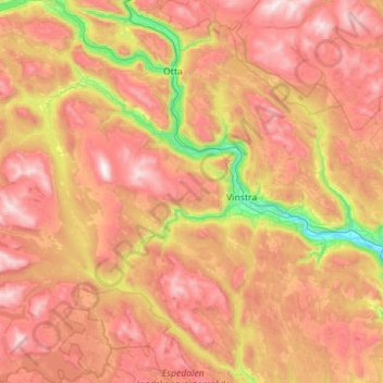
Name: Nord-Fron topographic map, elevation, terrain.
Location: Nord-Fron, Innlandet, Norvège (61.34089 8.89965 61.86631 10.01496)
Average elevation: 925 m
Minimum elevation: 180 m
Maximum elevation: 1,736 m
Other topographic maps
Click on a map to view its topography, its elevation and its terrain.