
Gausdal topographic map
Interactive map
Click on the map to display elevation.
About this map
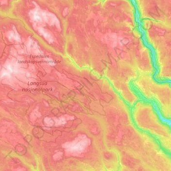
Name: Gausdal topographic map, elevation, terrain.
Location: Gausdal, Innlandet, Norvège (61.10745 9.30087 61.42102 10.36765)
Average elevation: 851 m
Minimum elevation: 131 m
Maximum elevation: 1,546 m
Other topographic maps
Click on a map to view its topography, its elevation and its terrain.