
Ringsaker topographic map
Interactive map
Click on the map to display elevation.
About this map
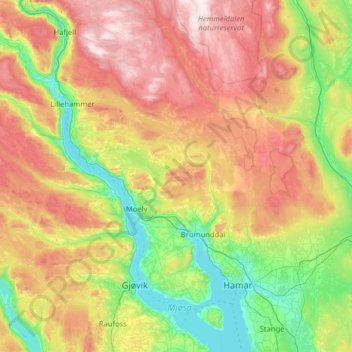
Name: Ringsaker topographic map, elevation, terrain.
Location: Ringsaker, Innlandet, Norvège (60.67574 10.44295 61.29554 11.11770)
Average elevation: 472 m
Minimum elevation: 119 m
Maximum elevation: 1,115 m
Other topographic maps
Click on a map to view its topography, its elevation and its terrain.