
白马镇 topographic map
Interactive map
Click on the map to display elevation.
About this map
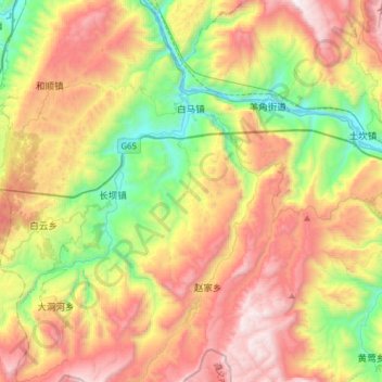
Name: 白马镇 topographic map, elevation, terrain.
Location: 白马镇, 武隆区, 重庆市, 中国 (29.20162 107.45206 29.47233 107.63246)
Average elevation: 977 m
Minimum elevation: 155 m
Maximum elevation: 1,983 m
Other topographic maps
Click on a map to view its topography, its elevation and its terrain.