
仙女山街道 topographic map
Interactive map
Click on the map to display elevation.
About this map
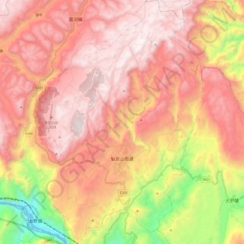
Name: 仙女山街道 topographic map, elevation, terrain.
Location: 仙女山街道, 武隆区, 重庆市, 中国 (29.35669 107.67799 29.56587 107.84472)
Average elevation: 1,266 m
Minimum elevation: 165 m
Maximum elevation: 1,963 m
Other topographic maps
Click on a map to view its topography, its elevation and its terrain.