
坦头镇 topographic map
Interactive map
Click on the map to display elevation.
About this map
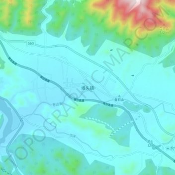
Name: 坦头镇 topographic map, elevation, terrain.
Location: 坦头镇, 台州市, 浙江省, 中国 (29.07059 121.08323 29.15059 121.16323)
Average elevation: 162 m
Minimum elevation: 37 m
Maximum elevation: 964 m
Other topographic maps
Click on a map to view its topography, its elevation and its terrain.