
健跳镇 topographic map
Interactive map
Click on the map to display elevation.
About this map
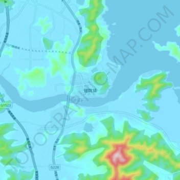
Name: 健跳镇 topographic map, elevation, terrain.
Location: 健跳镇, 台州市, 浙江省, 中国 (29.00520 121.58268 29.08520 121.66268)
Average elevation: 36 m
Minimum elevation: -3 m
Maximum elevation: 422 m
Other topographic maps
Click on a map to view its topography, its elevation and its terrain.