
上盘镇 topographic map
Interactive map
Click on the map to display elevation.
About this map
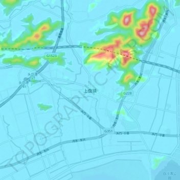
Name: 上盘镇 topographic map, elevation, terrain.
Location: 上盘镇, 台州市, 浙江省, 中国 (28.71265 121.54689 28.79265 121.62689)
Average elevation: 24 m
Minimum elevation: 0 m
Maximum elevation: 326 m
Other topographic maps
Click on a map to view its topography, its elevation and its terrain.