
永兴县 topographic map
Interactive map
Click on the map to display elevation.
About this map
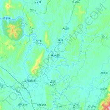
Name: 永兴县 topographic map, elevation, terrain.
Location: 永兴县, 郴州市, 湖南省, 中国 (25.97028 112.95066 26.29028 113.27066)
Average elevation: 171 m
Minimum elevation: 83 m
Maximum elevation: 901 m
Other topographic maps
Click on a map to view its topography, its elevation and its terrain.