
高亭司镇 topographic map
Interactive map
Click on the map to display elevation.
About this map
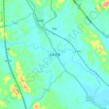
Name: 高亭司镇 topographic map, elevation, terrain.
Location: 高亭司镇, 永兴县, 郴州市, 湖南省, 中国 (26.03720 112.86000 26.11720 112.94000)
Average elevation: 151 m
Minimum elevation: 118 m
Maximum elevation: 307 m
Other topographic maps
Click on a map to view its topography, its elevation and its terrain.