
樟树镇 topographic map
Interactive map
Click on the map to display elevation.
About this map
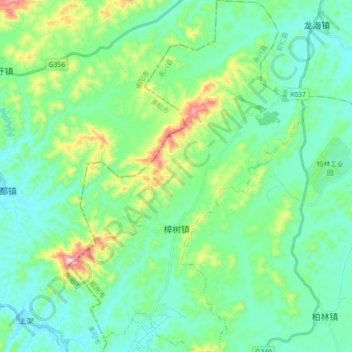
Name: 樟树镇 topographic map, elevation, terrain.
Location: 樟树镇, 永兴县, 郴州市, 湖南省, 中国 (26.32843 113.14829 26.48860 113.27002)
Average elevation: 211 m
Minimum elevation: 118 m
Maximum elevation: 531 m
Other topographic maps
Click on a map to view its topography, its elevation and its terrain.