
油麻镇 topographic map
Interactive map
Click on the map to display elevation.
About this map
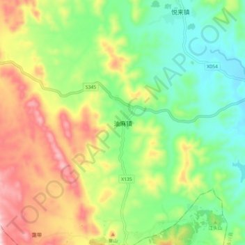
Name: 油麻镇 topographic map, elevation, terrain.
Location: 油麻镇, 永兴县, 郴州市, 湖南省, 中国 (26.04169 112.76062 26.12169 112.84062)
Average elevation: 296 m
Minimum elevation: 141 m
Maximum elevation: 532 m
Other topographic maps
Click on a map to view its topography, its elevation and its terrain.