
径山镇 topographic map
Interactive map
Click on the map to display elevation.
About this map
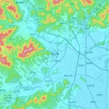
Name: 径山镇 topographic map, elevation, terrain.
Location: 径山镇, 余杭区, 杭州市, 浙江省, 311116, 中国 (30.29849 119.74602 30.45356 119.91216)
Average elevation: 67 m
Minimum elevation: 3 m
Maximum elevation: 452 m
Other topographic maps
Click on a map to view its topography, its elevation and its terrain.