
南湖 topographic map
Interactive map
Click on the map to display elevation.
About this map
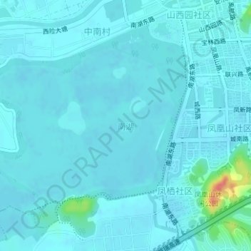
Name: 南湖 topographic map, elevation, terrain.
Location: 南湖, 余杭街道, 余杭区, 杭州市, 浙江省, 中国 (30.25238 119.90816 30.26920 119.93098)
Average elevation: 10 m
Minimum elevation: 4 m
Maximum elevation: 69 m
Other topographic maps
Click on a map to view its topography, its elevation and its terrain.