
北岸村 topographic map
Interactive map
Click on the map to display elevation.
About this map
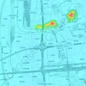
Name: 北岸村 topographic map, elevation, terrain.
Location: 北岸村, 仓前街道, 余杭区, 杭州市, 浙江省, 311121, 中国 (30.29212 119.94851 30.33212 119.98851)
Average elevation: 7 m
Minimum elevation: 1 m
Maximum elevation: 76 m
Other topographic maps
Click on a map to view its topography, its elevation and its terrain.