
仓前街道 topographic map
Interactive map
Click on the map to display elevation.
About this map
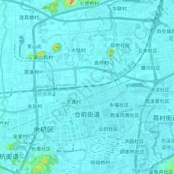
Name: 仓前街道 topographic map, elevation, terrain.
Location: 仓前街道, 余杭区, 杭州市, 浙江省, 311121, 中国 (30.24899 119.94462 30.35351 120.02587)
Average elevation: 7 m
Minimum elevation: 2 m
Maximum elevation: 109 m
Other topographic maps
Click on a map to view its topography, its elevation and its terrain.