
南岭乡 topographic map
Interactive map
Click on the map to display elevation.
About this map
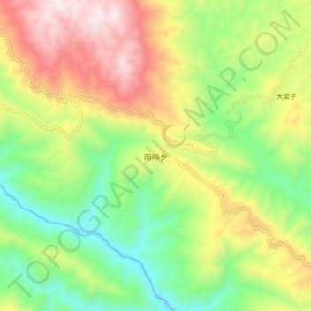
Name: 南岭乡 topographic map, elevation, terrain.
Location: 南岭乡, 澜沧拉祜族自治县, 普洱市, 云南省, 665000, 中国 (22.67150 99.95450 22.75150 100.03450)
Average elevation: 1,341 m
Minimum elevation: 917 m
Maximum elevation: 1,924 m
Other topographic maps
Click on a map to view its topography, its elevation and its terrain.