
勐朗镇 topographic map
Interactive map
Click on the map to display elevation.
About this map
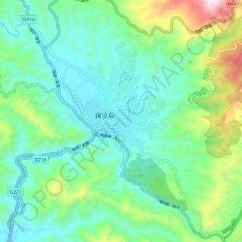
Name: 勐朗镇 topographic map, elevation, terrain.
Location: 勐朗镇, 澜沧拉祜族自治县, 普洱市, 云南省, 665000, 中国 (22.51444 99.89354 22.59444 99.97354)
Average elevation: 1,180 m
Minimum elevation: 991 m
Maximum elevation: 1,759 m
Other topographic maps
Click on a map to view its topography, its elevation and its terrain.