
酒井哈尼族乡 topographic map
Interactive map
Click on the map to display elevation.
About this map
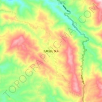
Name: 酒井哈尼族乡 topographic map, elevation, terrain.
Location: 酒井哈尼族乡, 澜沧拉祜族自治县, 普洱市, 云南省, 中国 (22.40780 99.93410 22.48780 100.01410)
Average elevation: 1,374 m
Minimum elevation: 1,036 m
Maximum elevation: 1,756 m
Other topographic maps
Click on a map to view its topography, its elevation and its terrain.