
连天峰 topographic map
Interactive map
Click on the map to display elevation.
About this map
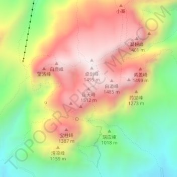
Name: 连天峰 topographic map, elevation, terrain.
Location: 连天峰, 郑州市, 河南省, 中国 (34.47260 112.93487 34.47270 112.93497)
Average elevation: 1,043 m
Minimum elevation: 606 m
Maximum elevation: 1,473 m
Other topographic maps
Click on a map to view its topography, its elevation and its terrain.