
北林路街道 topographic map
Interactive map
Click on the map to display elevation.
About this map
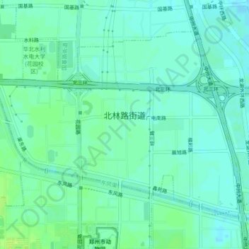
Name: 北林路街道 topographic map, elevation, terrain.
Location: 北林路街道, 金水区, 郑州市, 河南省, 中国 (34.79396 113.66243 34.81737 113.70047)
Average elevation: 91 m
Minimum elevation: 86 m
Maximum elevation: 98 m
Other topographic maps
Click on a map to view its topography, its elevation and its terrain.