
未来路街道 topographic map
Interactive map
Click on the map to display elevation.
About this map
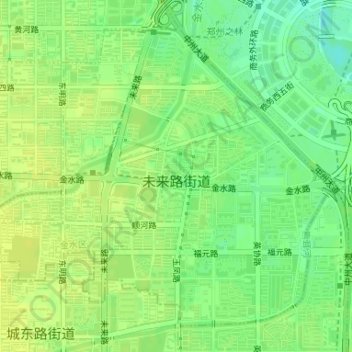
Name: 未来路街道 topographic map, elevation, terrain.
Location: 未来路街道, 金水区, 郑州市, 河南省, 中国 (34.75284 113.68810 34.77577 113.71918)
Average elevation: 95 m
Minimum elevation: 84 m
Maximum elevation: 101 m
Other topographic maps
Click on a map to view its topography, its elevation and its terrain.