
白泥镇 topographic map
Interactive map
Click on the map to display elevation.
About this map
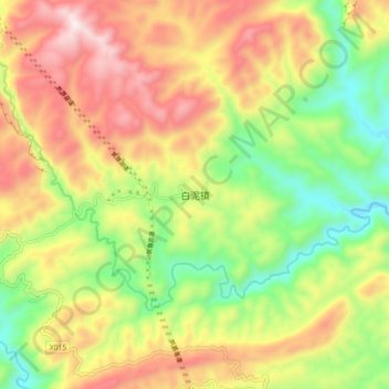
Name: 白泥镇 topographic map, elevation, terrain.
Location: 白泥镇, 古蔺县, 泸州市, 四川省, 中国 (27.77045 105.94034 27.85045 106.02034)
Average elevation: 937 m
Minimum elevation: 551 m
Maximum elevation: 1,372 m
Other topographic maps
Click on a map to view its topography, its elevation and its terrain.