
石屏镇 topographic map
Interactive map
Click on the map to display elevation.
About this map
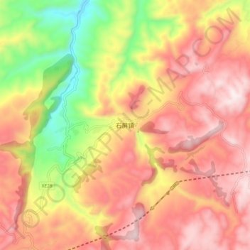
Name: 石屏镇 topographic map, elevation, terrain.
Location: 石屏镇, 古蔺县, 泸州市, 四川省, 中国 (28.00074 105.99404 28.08074 106.07404)
Average elevation: 864 m
Minimum elevation: 397 m
Maximum elevation: 1,200 m
Other topographic maps
Click on a map to view its topography, its elevation and its terrain.