
中山东路街道 topographic map
Interactive map
Click on the map to display elevation.
About this map
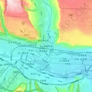
Name: 中山东路街道 topographic map, elevation, terrain.
Location: 中山东路街道, 宝鸡市, 陕西省, 中国 (34.33668 107.11438 34.41668 107.19438)
Average elevation: 679 m
Minimum elevation: 568 m
Maximum elevation: 949 m
Other topographic maps
Click on a map to view its topography, its elevation and its terrain.