
金陵河 topographic map
Interactive map
Click on the map to display elevation.
About this map
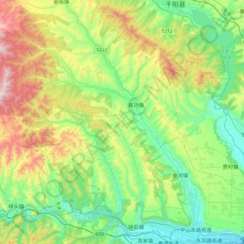
Name: 金陵河 topographic map, elevation, terrain.
Location: 金陵河, 宝鸡市, 陕西省, 中国 (34.35976 106.87216 34.64896 107.16198)
Average elevation: 918 m
Minimum elevation: 568 m
Maximum elevation: 1,703 m
Other topographic maps
Click on a map to view its topography, its elevation and its terrain.