
太白县 topographic map
Interactive map
Click on the map to display elevation.
About this map
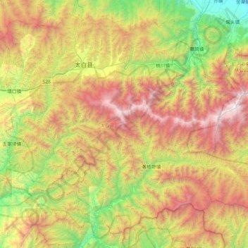
Name: 太白县 topographic map, elevation, terrain.
Location: 太白县, 宝鸡市, 陕西省, 中国 (33.64680 107.05433 34.17717 107.77800)
Average elevation: 1,848 m
Minimum elevation: 572 m
Maximum elevation: 3,747 m
Other topographic maps
Click on a map to view its topography, its elevation and its terrain.