
金台区 topographic map
Interactive map
Click on the map to display elevation.
About this map
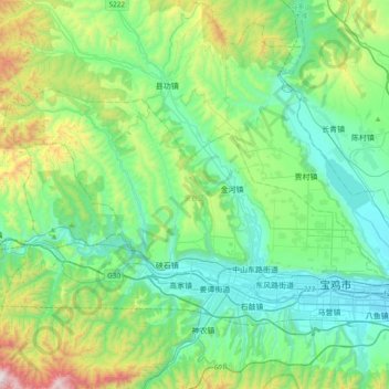
Name: 金台区 topographic map, elevation, terrain.
Location: 金台区, 宝鸡市, 陕西省, 中国 (34.35077 106.90736 34.52200 107.28820)
Average elevation: 873 m
Minimum elevation: 553 m
Maximum elevation: 1,950 m
Other topographic maps
Click on a map to view its topography, its elevation and its terrain.