
高州引鉴总干渠 topographic map
Interactive map
Click on the map to display elevation.
About this map
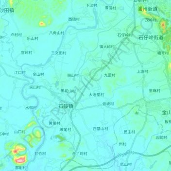
Name: 高州引鉴总干渠 topographic map, elevation, terrain.
Location: 高州引鉴总干渠, 茂名市, 广东省, 中国 (21.77123 110.77011 21.91292 110.83392)
Average elevation: 35 m
Minimum elevation: 14 m
Maximum elevation: 268 m
Other topographic maps
Click on a map to view its topography, its elevation and its terrain.