
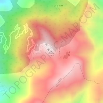
大田顶 topographic map
Interactive map
Click on the map to display elevation.
About this map
Name: 大田顶 topographic map, elevation, terrain.
Location: 大田顶, 茂名市, 广东省, 中国 (22.29024 111.21562 22.29034 111.21572)
Average elevation: 1,413 m
Minimum elevation: 968 m
Maximum elevation: 1,686 m
Other topographic maps
Click on a map to view its topography, its elevation and its terrain.