
林尘镇 topographic map
Interactive map
Click on the map to display elevation.
About this map
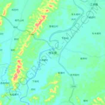
Name: 林尘镇 topographic map, elevation, terrain.
Location: 林尘镇, 茂名市, 广东省, 中国 (21.79466 110.52579 21.87466 110.60579)
Average elevation: 35 m
Minimum elevation: 10 m
Maximum elevation: 135 m
Other topographic maps
Click on a map to view its topography, its elevation and its terrain.