
洪洞村 topographic map
Interactive map
Click on the map to display elevation.
About this map
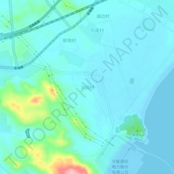
Name: 洪洞村 topographic map, elevation, terrain.
Location: 洪洞村, 汕头市, 广东省, 中国 (23.18338 116.62798 23.22338 116.66798)
Average elevation: 25 m
Minimum elevation: -3 m
Maximum elevation: 174 m
Other topographic maps
Click on a map to view its topography, its elevation and its terrain.