
归义镇 topographic map
Interactive map
Click on the map to display elevation.
About this map
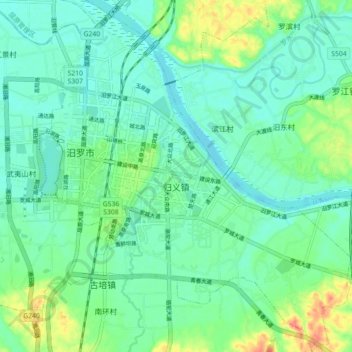
Name: 归义镇 topographic map, elevation, terrain.
Location: 归义镇, 汨罗市, 岳阳市, 湖南省, 中国 (28.76559 113.05320 28.84388 113.13009)
Average elevation: 40 m
Minimum elevation: 24 m
Maximum elevation: 82 m
Other topographic maps
Click on a map to view its topography, its elevation and its terrain.