
玉池山 topographic map
Interactive map
Click on the map to display elevation.
About this map
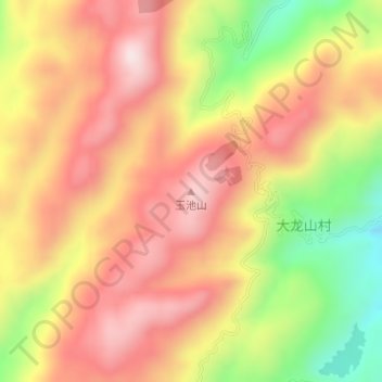
Name: 玉池山 topographic map, elevation, terrain.
Location: 玉池山, 汨罗市, 岳阳市, 湖南省, 中国 (28.54977 113.07742 28.54987 113.07752)
Average elevation: 559 m
Minimum elevation: 285 m
Maximum elevation: 753 m
Other topographic maps
Click on a map to view its topography, its elevation and its terrain.