
武夷山村 topographic map
Interactive map
Click on the map to display elevation.
About this map
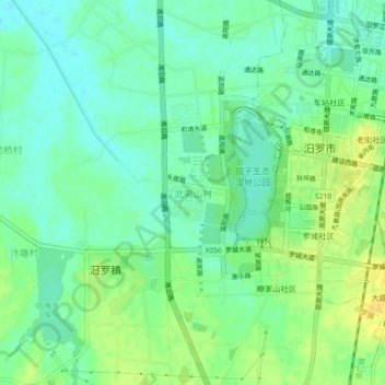
Name: 武夷山村 topographic map, elevation, terrain.
Location: 武夷山村, 汨罗市, 岳阳市, 湖南省, 中国 (28.78538 113.02629 28.82538 113.06629)
Average elevation: 35 m
Minimum elevation: 25 m
Maximum elevation: 48 m
Other topographic maps
Click on a map to view its topography, its elevation and its terrain.