
下甘沟村 topographic map
Interactive map
Click on the map to display elevation.
About this map
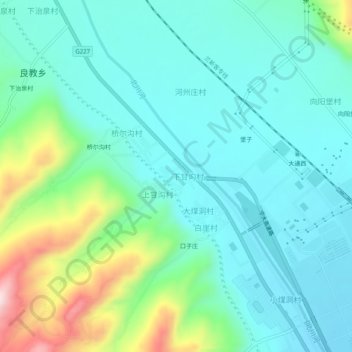
Name: 下甘沟村 topographic map, elevation, terrain.
Location: 下甘沟村, 大通回族土族自治县, 西宁市, 青海省, 中国 (36.94348 101.63453 36.98348 101.67453)
Average elevation: 2,531 m
Minimum elevation: 2,451 m
Maximum elevation: 2,791 m