California topographic maps
Click on a map to view its topography, its elevation and its terrain.
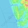
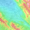
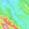
Encinitas
Encinitas lies on a rugged coastal terrace. The city is bisected by a low-lying coastal ridge that separates New and Old Encinitas. In the north of the city, the coast rises in elevation and the land is raised up in the form of many coastal bluffs, which are subject to collapsing on the narrow beach. The city…
Average elevation: 32 m


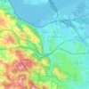
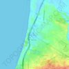
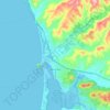
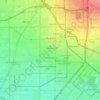
Marina
United States > California > Monterey County
Marina is a city in Monterey County, California, United States. As of the 2020 census, the population was 22,359, up from 19,718 in 2010. The city is located along the central coast of California, 8 miles (13 km) west of Salinas and 8 miles (13 km) northeast of Monterey. It is on California State Route 1…
Average elevation: 17 m
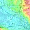
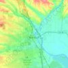
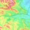
Santa Ana
United States > California > Orange County
Santa Ana is nested on flat, low-lying plains with little land elevation change. Running through the west end of the city is the mostly channelized Santa Ana River, which is also largely seasonal due to the construction of the Prado Dam and Seven Oaks Dam. The river has caused several severe floods in the 20th…
Average elevation: 30 m
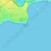


Mount Shasta
United States > California > Siskiyou County
Mount Shasta (/ˈʃæstə/ SHASS-tə; Shasta: Waka-nunee-Tuki-wuki; Karuk: Úytaahkoo) is a potentially active stratovolcano at the southern end of the Cascade Range in Siskiyou County, California. At an elevation of 14,179 ft (4,322 m), it is the second-highest peak in the Cascades and the fifth-highest in…
Average elevation: 3,717 m