
芦苞镇 topographic map
Interactive map
Click on the map to display elevation.
About this map
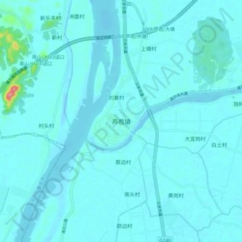
Name: 芦苞镇 topographic map, elevation, terrain.
Location: 芦苞镇, 佛山市, 广东省, 中国 (23.31719 112.86192 23.39719 112.94192)
Average elevation: 9 m
Minimum elevation: -3 m
Maximum elevation: 127 m
Other topographic maps
Click on a map to view its topography, its elevation and its terrain.