
周田村 topographic map
Interactive map
Click on the map to display elevation.
About this map
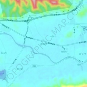
Name: 周田村 topographic map, elevation, terrain.
Location: 周田村, 佛山市, 广东省, 中国 (22.84109 112.65523 22.88109 112.69523)
Average elevation: 25 m
Minimum elevation: -31 m
Maximum elevation: 193 m
Other topographic maps
Click on a map to view its topography, its elevation and its terrain.