
涪江 topographic map
Interactive map
Click on the map to display elevation.
About this map
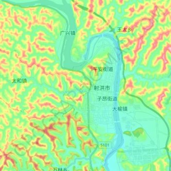
Name: 涪江 topographic map, elevation, terrain.
Location: 涪江, 遂宁市, 四川省, 中国 (30.81660 105.29715 30.94445 105.39617)
Average elevation: 388 m
Minimum elevation: 308 m
Maximum elevation: 565 m
Other topographic maps
Click on a map to view its topography, its elevation and its terrain.