
王家坝 topographic map
Interactive map
Click on the map to display elevation.
About this map
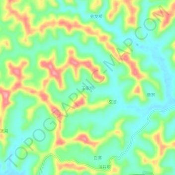
Name: 王家坝 topographic map, elevation, terrain.
Location: 王家坝, 遂宁市, 四川省, 中国 (30.61291 105.28132 30.65291 105.32132)
Average elevation: 352 m
Minimum elevation: 304 m
Maximum elevation: 433 m