
八里沟 topographic map
Interactive map
Click on the map to display elevation.
About this map
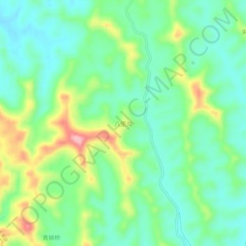
Name: 八里沟 topographic map, elevation, terrain.
Location: 八里沟, 遂宁市, 四川省, 中国 (30.49738 105.08309 30.53738 105.12309)
Average elevation: 403 m
Minimum elevation: 351 m
Maximum elevation: 513 m
Other topographic maps
Click on a map to view its topography, its elevation and its terrain.