
商山镇 topographic map
Interactive map
Click on the map to display elevation.
About this map
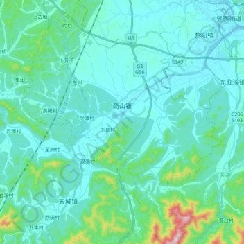
Name: 商山镇 topographic map, elevation, terrain.
Location: 商山镇, 休宁县, 黄山市, 安徽省, 中国 (29.57679 118.14615 29.72484 118.28600)
Average elevation: 193 m
Minimum elevation: 119 m
Maximum elevation: 687 m
Other topographic maps
Click on a map to view its topography, its elevation and its terrain.